Tuesday, 12 May 2020
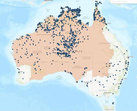
RIPP Map Data
Publication abstract:
For the purposes of the Indigenous Procurement Policy (IPP), the electronic remote Indigenous Procurement Policy (RIPP) map allows users to search Australia by location to determine remote or non-remote IPP status.The RIPP map is based on the Australia Bureau of Statistics’ 2011 census data using Indigenous Areas (IAREs). Please note that the electronic map should be used to determine whether a location is defined as remote or non-remote. Additional excel RIPP map resources for listed communities and postcodes will assist in determining location status.